Untouched Paradise
The peninsula of Baja California is of tectonic origin and separated from the mainland millions of years ago as a result of a colossal earthquake. It has been walled in by two seas, the Pacific and the Sea of Cortez ever since.
A period of tremendous volcanic activity broke off a strip of the continental plate and lifted up the earth’s crust, forming the notorious San Andreas Fault.
The slippage between the two plates, which began two and a half million years ago, continues to this day, causing the peninsula to shift northwestward at a rate of 33 feet each century.
Chains of mountains plunge into the sea, where the peaks form strings of islands large and small, hugging the Pacific coast.
View Baja California Sur Islands in a larger map
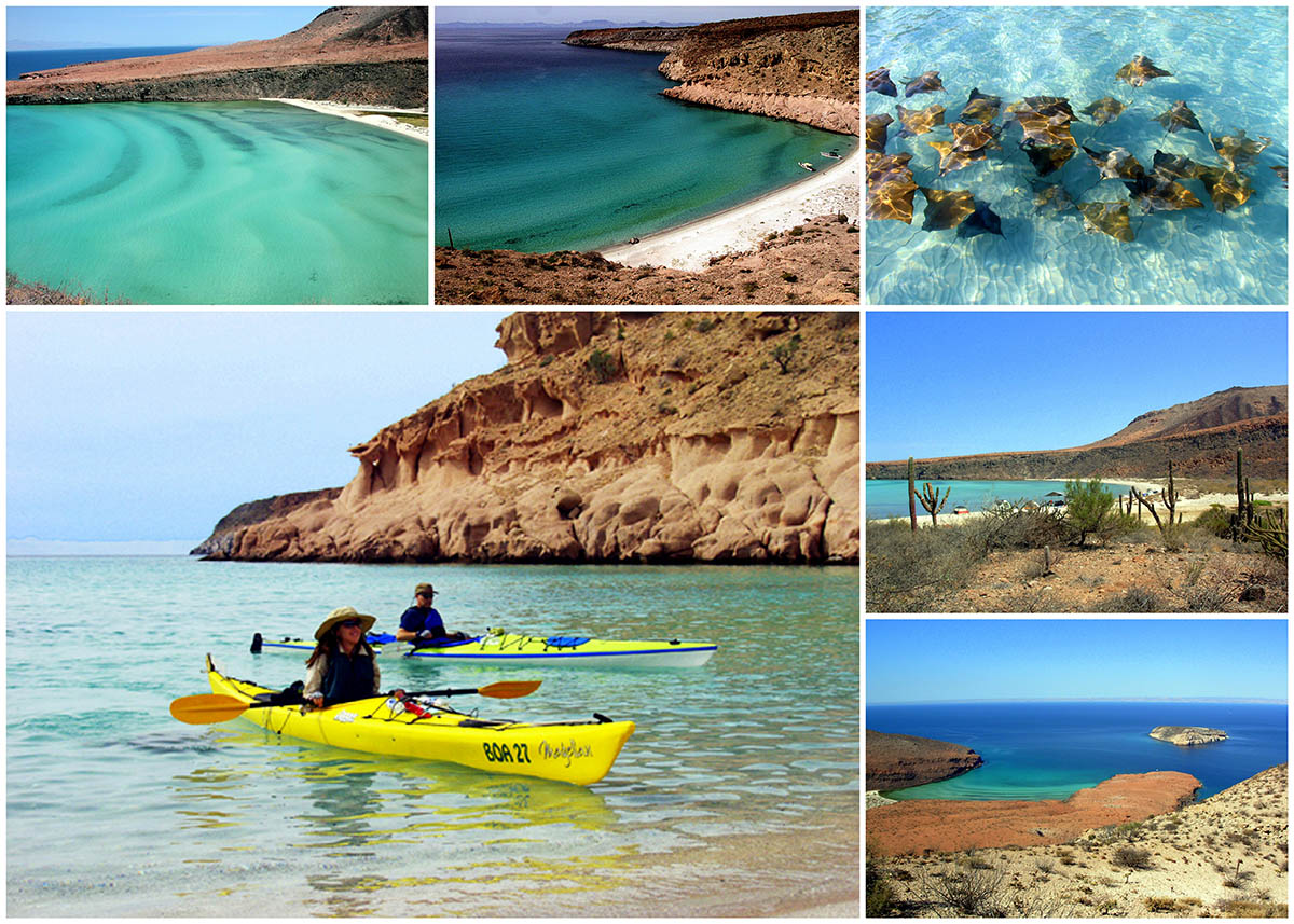
While generally lacking even the most primitive tourist facilities, the islands of the Sea of Cortez nevertheless lure a growing number of visitors in boats, yachts and pleasure craft who come to visit the virgin beaches of fine sand, secluded coves, sand bars and coral reefs that are teeming with crustaceans and fish of all colors and sizes.
The turbulence of the islands’ origin is reflected in the complicated undersea topography. Deep trenches and narrow channels between the islands and the mainland, make navigation difficult for the inexperienced sailor unfamiliar with the local currents or the gusts of cold wind that blow during the winter.
The relative distance from the coast and the scarcity of water or other resources make these islands unfit for human habitation and are therefore isolated from the shifting fortunes of the mainland.
They represent the closest we have to a pristine paradise, with a biodiversity that is more than just an enormous biological resource. These islands constitute an invaluable refuge for the preservation of numerous species, and an opportunity to safeguard a piece of the nation’s ecological heritage. Protected in their solitude, they have kept their distance from the comings and goings of the region’s human history.
Northern Pacific Coast
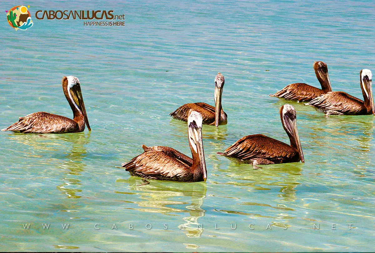
Some of the islands that form part of the state of Baja California Sur are located in the Pacific Ocean. A number of species have adopted these islands as their home, including colonies of sea lions, turtles and different land and sea birds.
Cedros Island
With a surface area of 140 square miles and abundant groundwater that makes it possible to grow crops, this is the only island with significant industrial development. It serves as the port of call for the salt export company known as Compañía Exportadora de Sal, which has docking facilities for cargo ships capable of carrying up to 150 tons of salt.
This island is part of the geological formation that extends into the ocean from Punto Eugenia, reappearing twelve miles offshore as Natividad Island. Between the two islands is a channel with dozens of submerged rocks, making it especially treacherous for navigation.
Magdalena and Santa Margarita Islands
Along the immense curve that stretches from Punto Abreojos to Cabo San Lázaro, the navigator will find nothing but rough and forbidding surf, judging by the size of the waves that crash against the coast. In fact, once you round Maria Rock on Natividad Island, you will have to sail for over 250 miles before finding another island. But the long wait is generously rewarded: Magdalena Island, arid, starkly beautiful and so long that seems like it will never end. When it finally does, it is only to make way for another island, Santa Margarita and then yet another, the half-moon of Creciente Island. The three islands form the outer barrier for the bays of Magdalena and Almejas, which together comprise a favorite gathering-place for whales, sea lions and ospreys.
Santa Margarita is the southernmost of the Pacific islands belonging to Baja California Sur, and one of the most bountiful. Edible fish, crustaceans and mollusks are especially plentiful off its shores. A handful of people live on the island, and there is also a small Mexican naval base.
Rich deposits of magnesite and phosphoric ore found in the vicinity have drawn the interest of scientists who are trying to reconcile the mining of these mineral resources with the necessary conservation of the environment.
Sea of Cortez
Jacques Cousteau Island (Isla Cerralvo)
It was Hernán Cortés himself who, on his expedition in 1553, discovered this island and named it Santiago. A century later Captain Francisco de Ortega put in with his schooner, the María Luisa de la Ascensión, at a protected harbor on the south side of the island, and changed the name to honor his benefactor, the Most Excellent Lord Don Rodrigo Pacheco Osorio, Marquis of Cerralvo, Captain General and Viceroy of New Spain.
The abundance of pearl-oyster beds found at Cerralvo brought a rush of explorers who stopped at the island on their way north into the Sea of Cortez.
Isla Jacques Cousteau is located off the Cerralvo Canal coast near La Paz in BCS. It’s 18 miles long with a total area of over 57 thousand square miles and it the 9th largest in Mexico. It falls under the La Paz Municipality. It’s a popular place for game fishing, normal catch includes golden groupers, marlin, sailfish and broadbill.
On November 17, 2009, the Mexican government changed the island’s name from historical one “Isla Cerralvo” to “Isla Jacques Cousteau” to honor the famous French Oceanographer that studied this area for many years and in various expeditions. Locals still use the previous name and resist the change.
Pájaros Island
“A colorful and loquacious town, where everyone squawks and no one understands.” This is how the Mexican writer Juan José Arreola described the huge numbers of birds that flock to this island.
El Gallo Island
Buffeted by ocean currents that collide and change direction, this island owes its name (“The Rooster” in Spanish) to the crest that its mountainous heights seem to form above the ocean’s surface.
Espíritu Santo and La Partida Islands
This cluster of islands is not volcanic in origin, as are most of the islands in the Sea of Cortez. You can see immediately that these once formed part of the peninsula, from which they separated thousands of years ago, almost as if for the express purpose of adorning the entrance to La Paz Bay.
The islands are home to exotic, short-lived flowers that grow in strange shapes, unlike anything you’ll see in a hothouse. These flowers were born for freedom, and will not tolerate the care that other flowers require. They crave only the implacable wind that blows in off the ocean.
San Marcos Island
From a distance, you become aware of the proximity of San Marcos Island, even before its outline can be seen on the horizon, because of a thin whirlwind of fine dust that rises up and disperses over the ocean.
On the island, miners hurry to put up the daily production of lime, alabaster and pumice that they will ship out the next day; then they can go fishing, a mere pretext for relaxing and eating.
Conclusion
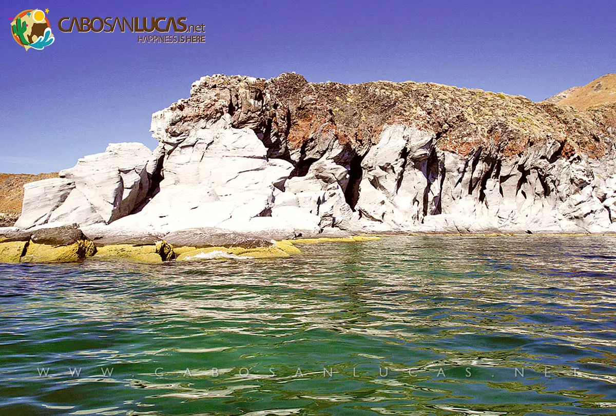
There are more islands in the Sea of Cortez, and all of them beckon to the traveler looking for contact with unspoiled nature and the unique beauty of the Baja California Sur landscape. Among them are San Francisco, Monserrat, San José, Santa Catalina, Danzante, Del Carmen, Coronado Island, San Ildefonso and Tortuga. All have their particular charm, and all preserve nature in its most pristine state.
Some of these islands have endemic flora and fauna, and have given their name to animals and plants that live nowhere else.
Isla Santa Catalina (Saint Catherine Island) is home to the Marina Catalina plant and the infamous Santa Catalina Rattlesnake (Crotalus catalinensis), a rattlesnake without a rattle. In its place, it has a small horny button, which makes it an even more formidable specimen than its continental cousins because it cannot warn the unwary hiker of its venomous presence.
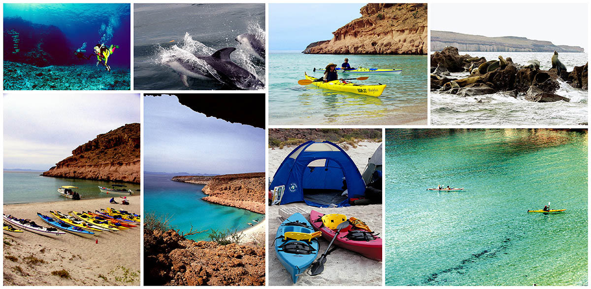
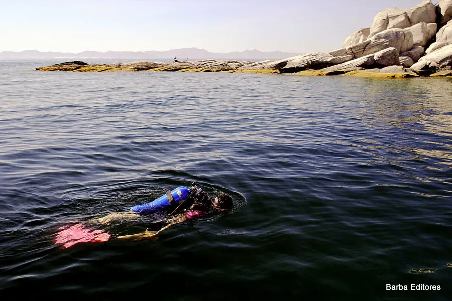
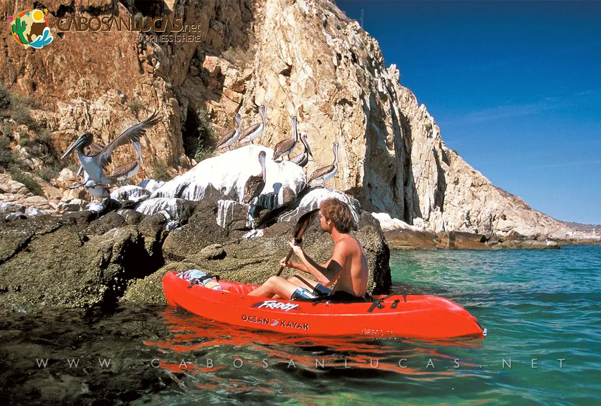
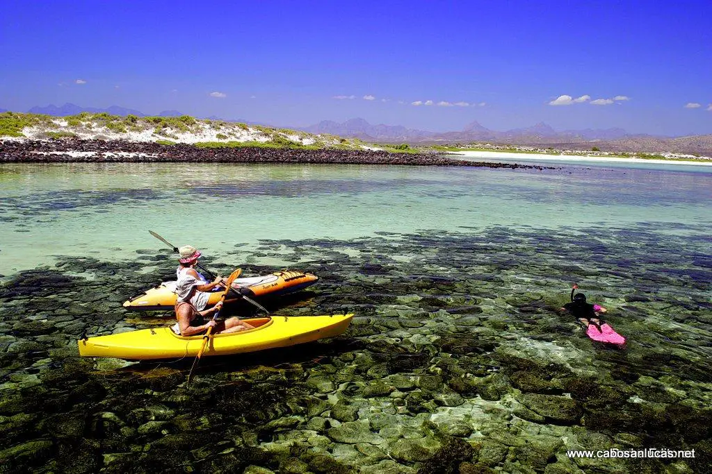
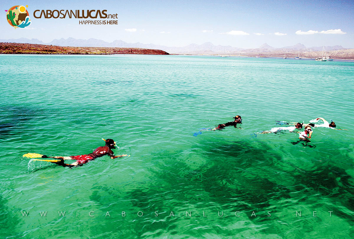
If you ever have an opportunity to tour the state, take time to visit some of our islands. Charter a boat to take you out, and enjoy some extraordinary diving, snorkeling and kayaking.


Leave A Comment